
江阴市 topographic map
Interactive map
Click on the map to display elevation.
About this map
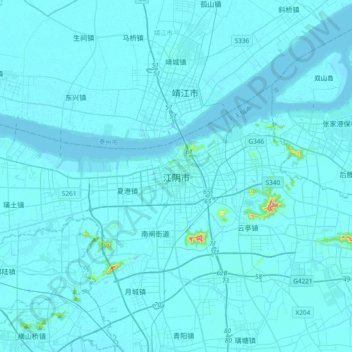
Name: 江阴市 topographic map, elevation, terrain.
Location: 江阴市, 无锡市, 江阴市, 江苏省, 214400, 中国 (31.74928 120.10304 32.06928 120.42304)
Average elevation: 6 m
Minimum elevation: -8 m
Maximum elevation: 246 m
Other topographic maps
Click on a map to view its topography, its elevation and its terrain.