
长埠 topographic map
Interactive map
Click on the map to display elevation.
About this map
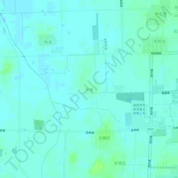
Name: 长埠 topographic map, elevation, terrain.
Location: 长埠, 潍坊市, 山东省, 261306, 中国 (36.84156 119.31145 36.88156 119.35145)
Average elevation: 7 m
Minimum elevation: 4 m
Maximum elevation: 15 m
Other topographic maps
Click on a map to view its topography, its elevation and its terrain.