
Thank you for supporting this site ❤️
Make a donation
Make a donation
Tai'an County topographic map
Click on the map to display elevation.
Thank you for supporting this site ❤️
Make a donation
Make a donation
About this map
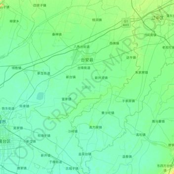
Name: Tai'an County topographic map, elevation, terrain.
Location: Tai'an County, Anshan City, Liaoning, China (41.01068 122.18702 41.56818 122.65428)
Average elevation: 9 m
Minimum elevation: 1 m
Maximum elevation: 53 m
Thank you for supporting this site ❤️
Make a donation
Make a donation
Other topographic maps
Click on a map to view its topography, its elevation and its terrain.