
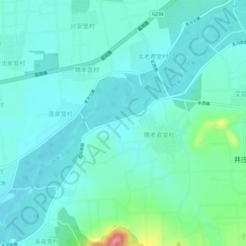
妫水河 topographic map
Interactive map
Click on the map to display elevation.
About this map
Name: 妫水河 topographic map, elevation, terrain.
Location: 妫水河, 延庆区, 北京市, 102100, 中国 (40.45844 116.04333 40.49137 116.08832)
Average elevation: 506 m
Minimum elevation: 484 m
Maximum elevation: 608 m
Other topographic maps
Click on a map to view its topography, its elevation and its terrain.