
下屯 topographic map
Interactive map
Click on the map to display elevation.
About this map
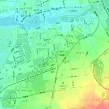
Name: 下屯 topographic map, elevation, terrain.
Location: 下屯, 上都首府家园社区, 延庆区, 北京市, 102100, 中国 (40.42037 115.95854 40.46037 115.99854)
Average elevation: 496 m
Minimum elevation: 475 m
Maximum elevation: 536 m