
河曲马场 topographic map
Interactive map
Click on the map to display elevation.
About this map
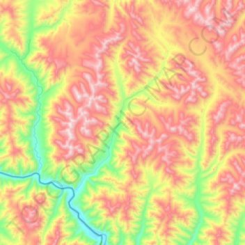
Name: 河曲马场 topographic map, elevation, terrain.
Location: 河曲马场, 玛曲县, 甘南藏族自治州, 甘肃省, 中国 (33.78484 101.10046 34.05003 101.35034)
Average elevation: 4,152 m
Minimum elevation: 3,585 m
Maximum elevation: 4,716 m
Other topographic maps
Click on a map to view its topography, its elevation and its terrain.