
万山镇 topographic map
Interactive map
Click on the map to display elevation.
About this map
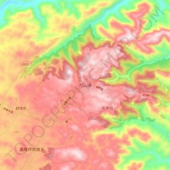
Name: 万山镇 topographic map, elevation, terrain.
Location: 万山镇, 万山区, 贵州省, 中国 (27.48320 109.16600 27.56320 109.24600)
Average elevation: 729 m
Minimum elevation: 400 m
Maximum elevation: 948 m
Other topographic maps
Click on a map to view its topography, its elevation and its terrain.