
田家湾 topographic map
Interactive map
Click on the map to display elevation.
About this map
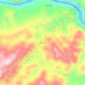
Name: 田家湾 topographic map, elevation, terrain.
Location: 田家湾, 古丈县, 湘西土家族苗族自治州, 湖南省, 中国 (28.72744 109.83835 28.76744 109.87835)
Average elevation: 427 m
Minimum elevation: 198 m
Maximum elevation: 628 m
Other topographic maps
Click on a map to view its topography, its elevation and its terrain.