
Siguang Ri topographic map
Interactive map
Click on the map to display elevation.
About this map
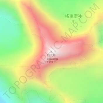
Name: Siguang Ri topographic map, elevation, terrain.
Location: Siguang Ri, 扎西宗, 定日县, 日喀则市, 西藏自治区, 中国 (28.14784 86.68451 28.14794 86.68461)
Average elevation: 6,639 m
Minimum elevation: 6,042 m
Maximum elevation: 7,248 m
Other topographic maps
Click on a map to view its topography, its elevation and its terrain.