
岳口 topographic map
Interactive map
Click on the map to display elevation.
About this map
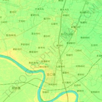
Name: 岳口 topographic map, elevation, terrain.
Location: 岳口, 天门市, 湖北省, 中国 (30.47433 113.00895 30.60714 113.16223)
Average elevation: 30 m
Minimum elevation: 18 m
Maximum elevation: 42 m
Other topographic maps
Click on a map to view its topography, its elevation and its terrain.