
同乐村 topographic map
Interactive map
Click on the map to display elevation.
About this map
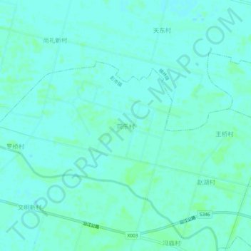
Name: 同乐村 topographic map, elevation, terrain.
Location: 同乐村, 天门市, 湖北省, 中国 (30.45819 113.20397 30.49819 113.24397)
Average elevation: 29 m
Minimum elevation: 26 m
Maximum elevation: 32 m
Other topographic maps
Click on a map to view its topography, its elevation and its terrain.