
天路十八弯 topographic map
Interactive map
Click on the map to display elevation.
About this map
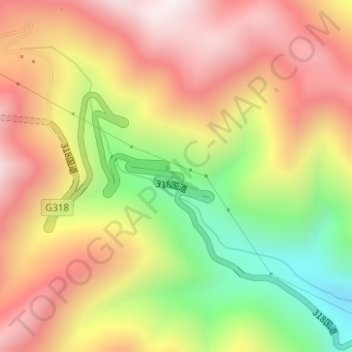
Name: 天路十八弯 topographic map, elevation, terrain.
Location: 天路十八弯, 雅江县, 甘孜藏族自治州, 四川省, 中国 (29.97841 100.86001 30.01841 100.90001)
Average elevation: 4,237 m
Minimum elevation: 3,597 m
Maximum elevation: 4,673 m
Other topographic maps
Click on a map to view its topography, its elevation and its terrain.