
雅江县 topographic map
Interactive map
Click on the map to display elevation.
About this map
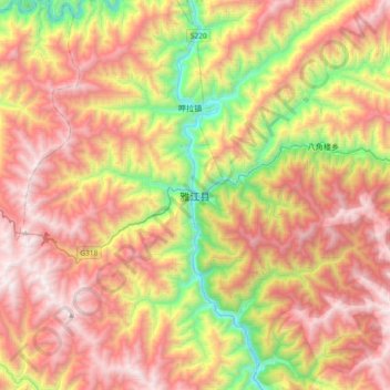
Name: 雅江县 topographic map, elevation, terrain.
Location: 雅江县, 甘孜藏族自治州, 四川省, 627400, 中国 (29.87514 100.85392 30.19514 101.17392)
Average elevation: 3,651 m
Minimum elevation: 2,535 m
Maximum elevation: 4,708 m
Other topographic maps
Click on a map to view its topography, its elevation and its terrain.