
经久乡 topographic map
Interactive map
Click on the map to display elevation.
About this map
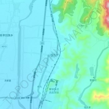
Name: 经久乡 topographic map, elevation, terrain.
Location: 经久乡, 西昌市, 凉山彝族自治州, 四川省, 中国 (27.73782 102.16934 27.81782 102.24934)
Average elevation: 1,552 m
Minimum elevation: 1,477 m
Maximum elevation: 2,148 m
Other topographic maps
Click on a map to view its topography, its elevation and its terrain.