
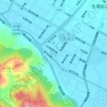
凉山彝族自治州民族风情园 topographic map
Interactive map
Click on the map to display elevation.
About this map
Name: 凉山彝族自治州民族风情园 topographic map, elevation, terrain.
Location: 凉山彝族自治州民族风情园, 西昌市, 西郊, 西昌市, 凉山彝族自治州, 四川省, 中国 (27.87304 102.24931 27.87534 102.25223)
Average elevation: 1,545 m
Minimum elevation: 1,509 m
Maximum elevation: 1,726 m