
Beni Bechir topographic map
Interactive map
Click on the map to display elevation.
About this map
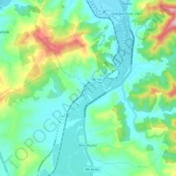
Name: Beni Bechir topographic map, elevation, terrain.
Location: Beni Bechir, Daïra Ramdane Djamel, Skikda, Algérie (36.76483 6.92907 36.83553 7.02684)
Average elevation: 98 m
Minimum elevation: 7 m
Maximum elevation: 368 m
Other topographic maps
Click on a map to view its topography, its elevation and its terrain.
Ramdane Djamel
Algérie > Skikda > Daïra Ramdane Djamel
Ramdane Djamel, Daïra Ramdane Djamel, Skikda, 21425, Algérie
Average elevation: 158 m