
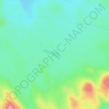
太阳湖 topographic map
Interactive map
Click on the map to display elevation.
About this map
Name: 太阳湖 topographic map, elevation, terrain.
Location: 太阳湖, 围场满族蒙古族自治县, 承德市, 河北省, 中国 (42.39017 117.15141 42.39271 117.15758)
Average elevation: 1,495 m
Minimum elevation: 1,462 m
Maximum elevation: 1,582 m
Other topographic maps
Click on a map to view its topography, its elevation and its terrain.