
凯里市 topographic map
Interactive map
Click on the map to display elevation.
About this map
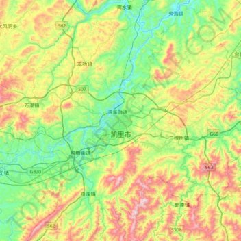
Name: 凯里市 topographic map, elevation, terrain.
Location: 凯里市, 大十字, 凯里市, 黔东南苗族侗族自治州, 贵州省, 中国 (26.41105 107.81695 26.73105 108.13695)
Average elevation: 866 m
Minimum elevation: 545 m
Maximum elevation: 1,608 m
Other topographic maps
Click on a map to view its topography, its elevation and its terrain.