
五龙河 topographic map
Interactive map
Click on the map to display elevation.
About this map
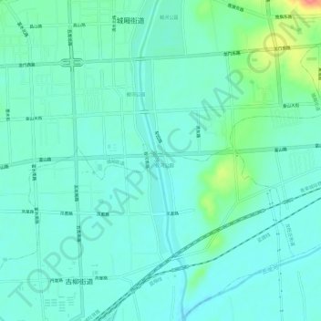
Name: 五龙河 topographic map, elevation, terrain.
Location: 五龙河, 莱阳市, 烟台市, 山东省, 265200, 中国 (36.92871 120.71544 36.97570 120.72394)
Average elevation: 39 m
Minimum elevation: 24 m
Maximum elevation: 95 m
Other topographic maps
Click on a map to view its topography, its elevation and its terrain.