
莱阳市 topographic map
Interactive map
Click on the map to display elevation.
About this map
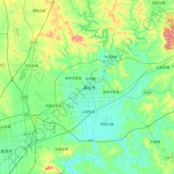
Name: 莱阳市 topographic map, elevation, terrain.
Location: 莱阳市, 烟台市, 山东省, 265200, 中国 (36.81947 120.54137 37.13947 120.86137)
Average elevation: 87 m
Minimum elevation: 17 m
Maximum elevation: 315 m
Other topographic maps
Click on a map to view its topography, its elevation and its terrain.