
漳卫新河 topographic map
Interactive map
Click on the map to display elevation.
About this map
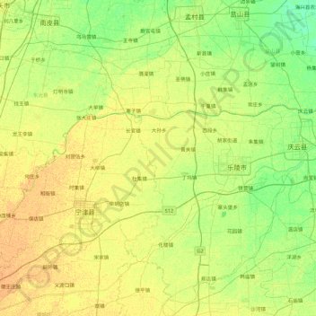
Name: 漳卫新河 topographic map, elevation, terrain.
Location: 漳卫新河, 乐陵市, 德州市, 乐陵市, 山东省, 253600, 中国 (37.61991 116.59185 37.87646 117.45020)
Average elevation: 14 m
Minimum elevation: 4 m
Maximum elevation: 23 m
Other topographic maps
Click on a map to view its topography, its elevation and its terrain.