
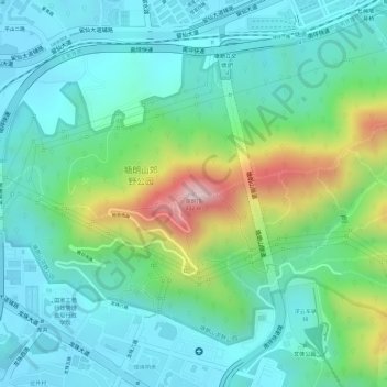
塘朗峰 topographic map
Interactive map
Click on the map to display elevation.
About this map
Name: 塘朗峰 topographic map, elevation, terrain.
Location: 塘朗峰, 深圳市, 广东省, 518055, 中国 (22.57600 113.98115 22.57610 113.98125)
Average elevation: 122 m
Minimum elevation: 18 m
Maximum elevation: 400 m
Other topographic maps
Click on a map to view its topography, its elevation and its terrain.