
太阳宫地区 topographic map
Interactive map
Click on the map to display elevation.
About this map
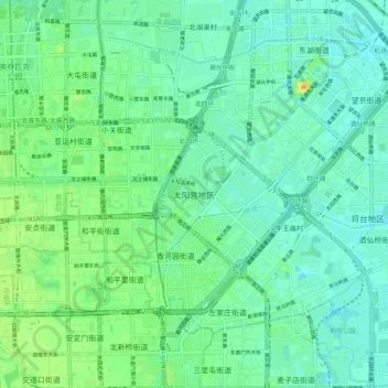
Name: 太阳宫地区 topographic map, elevation, terrain.
Location: 太阳宫地区, 朝阳区, 北京市, 100029, 中国 (39.93241 116.39588 40.01241 116.47588)
Average elevation: 44 m
Minimum elevation: 33 m
Maximum elevation: 72 m
Other topographic maps
Click on a map to view its topography, its elevation and its terrain.