
张家坟干渠 topographic map
Interactive map
Click on the map to display elevation.
About this map
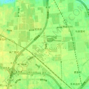
Name: 张家坟干渠 topographic map, elevation, terrain.
Location: 张家坟干渠, 沈家坟村, 朝阳区, 北京市, 100015, 中国 (40.00476 116.45131 40.05649 116.49726)
Average elevation: 39 m
Minimum elevation: 28 m
Maximum elevation: 43 m