
一碗水乡 topographic map
Interactive map
Click on the map to display elevation.
About this map
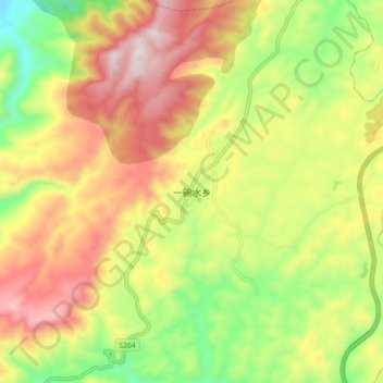
Name: 一碗水乡 topographic map, elevation, terrain.
Location: 一碗水乡, 黄平县, 黔东南苗族侗族自治州, 贵州省, 中国 (27.06590 107.82800 27.14590 107.90800)
Average elevation: 946 m
Minimum elevation: 617 m
Maximum elevation: 1,288 m
Other topographic maps
Click on a map to view its topography, its elevation and its terrain.