
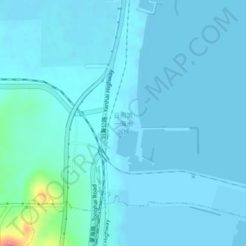
日照第一海水浴场 topographic map
Interactive map
Click on the map to display elevation.
About this map
Name: 日照第一海水浴场 topographic map, elevation, terrain.
Location: 日照第一海水浴场, 岚山区, 日照市, 山东省, 276800, 中国 (35.13918 119.37523 35.13928 119.37533)
Average elevation: 6 m
Minimum elevation: -2 m
Maximum elevation: 76 m
Other topographic maps
Click on a map to view its topography, its elevation and its terrain.