
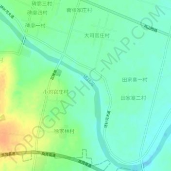
绣针河 topographic map
Interactive map
Click on the map to display elevation.
About this map
Name: 绣针河 topographic map, elevation, terrain.
Location: 绣针河, 岚山区, 日照市, 山东省, 276800, 中国 (35.13662 119.16084 35.16602 119.19802)
Average elevation: 23 m
Minimum elevation: 11 m
Maximum elevation: 45 m
Other topographic maps
Click on a map to view its topography, its elevation and its terrain.