
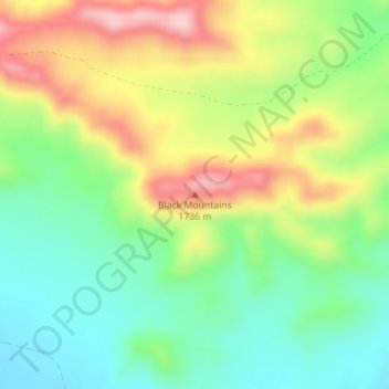
Black Mountains topographic map
Interactive map
Click on the map to display elevation.
About this map
Name: Black Mountains topographic map, elevation, terrain.
Location: Black Mountains, Juab County, Utah, USA (39.68184 -112.30111 39.68194 -112.30101)
Average elevation: 1,619 m
Minimum elevation: 1,517 m
Maximum elevation: 1,772 m
Other topographic maps
Click on a map to view its topography, its elevation and its terrain.