
Logan topographic map
Interactive map
Click on the map to display elevation.
About this map
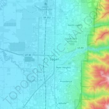
Name: Logan topographic map, elevation, terrain.
Location: Logan, Cache County, Utah, USA (41.67538 -111.90194 41.79736 -111.78019)
Average elevation: 1,498 m
Minimum elevation: 1,342 m
Maximum elevation: 2,659 m