
Thank you for supporting this site ❤️
Make a donation
Make a donation
Gamewell topographic map
Click on the map to display elevation.
Thank you for supporting this site ❤️
Make a donation
Make a donation
About this map
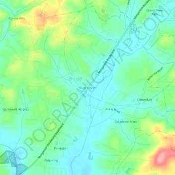
Name: Gamewell topographic map, elevation, terrain.
Location: Gamewell, Caldwell County, North Carolina, United States (35.84930 -81.61621 35.88930 -81.57621)
Average elevation: 343 m
Minimum elevation: 309 m
Maximum elevation: 425 m
Thank you for supporting this site ❤️
Make a donation
Make a donation
Other topographic maps
Click on a map to view its topography, its elevation and its terrain.