
Thank you for supporting this site ❤️
Make a donation
Make a donation
Gamewell topographic map
Click on the map to display elevation.
Thank you for supporting this site ❤️
Make a donation
Make a donation
About this map
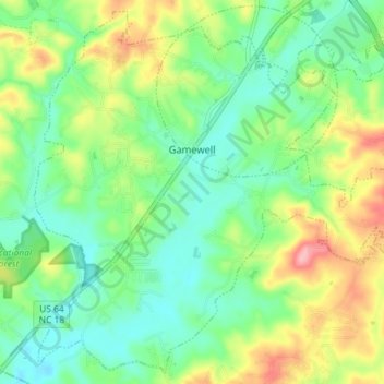
Name: Gamewell topographic map, elevation, terrain.
Location: Gamewell, Caldwell County, North Carolina, United States (35.83524 -81.62585 35.89023 -81.55395)
Average elevation: 346 m
Minimum elevation: 304 m
Maximum elevation: 425 m
Thank you for supporting this site ❤️
Make a donation
Make a donation