
黄厝 topographic map
Interactive map
Click on the map to display elevation.
About this map
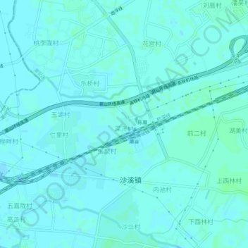
Name: 黄厝 topographic map, elevation, terrain.
Location: 黄厝, 潮安区, 潮州市, 广东省, 中国 (23.52405 116.56115 23.56405 116.60115)
Average elevation: 4 m
Minimum elevation: 2 m
Maximum elevation: 7 m
Other topographic maps
Click on a map to view its topography, its elevation and its terrain.