
凤凰山天池 topographic map
Interactive map
Click on the map to display elevation.
About this map
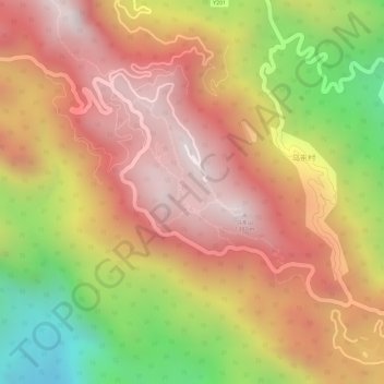
Name: 凤凰山天池 topographic map, elevation, terrain.
Location: 凤凰山天池, 凤凰镇, 潮安区, 潮州市, 广东省, 中国 (23.95577 116.64370 23.95810 116.64549)
Average elevation: 1,053 m
Minimum elevation: 531 m
Maximum elevation: 1,379 m