
望古 topographic map
Interactive map
Click on the map to display elevation.
About this map
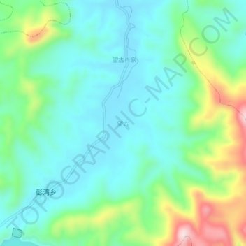
Name: 望古 topographic map, elevation, terrain.
Location: 望古, 贵溪市, 鹰潭市, 江西省, 中国 (28.08677 117.11772 28.12677 117.15772)
Average elevation: 151 m
Minimum elevation: 61 m
Maximum elevation: 400 m
Other topographic maps
Click on a map to view its topography, its elevation and its terrain.