

Hudson topographic map
Click on the map to display elevation.
About this map
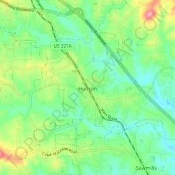
Name: Hudson topographic map, elevation, terrain.
Average elevation: 378 m
Minimum elevation: 339 m
Maximum elevation: 458 m
Other topographic maps
Click on a map to view its topography, its elevation and its terrain.


Forest Hills
United States > North Carolina > Caldwell County > Cajah's Mountain
Average elevation: 392 m




Grand View Park
United States > North Carolina > Caldwell County > Lenoir > Grand View Park
Average elevation: 348 m