
Wahrberg topographic map
Interactive map
Click on the map to display elevation.
About this map
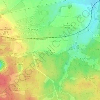
Name: Wahrberg topographic map, elevation, terrain.
Average elevation: 93 m
Minimum elevation: 63 m
Maximum elevation: 123 m
Other topographic maps
Click on a map to view its topography, its elevation and its terrain.
Hundisburg
Deutschland > Sachsen-Anhalt > Haldensleben
Hundisburg, Haldensleben, Börde, Sachsen-Anhalt, Deutschland
Average elevation: 86 m