
Waglan Island topographic map
Interactive map
Click on the map to display elevation.
About this map
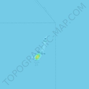
Name: Waglan Island topographic map, elevation, terrain.
Location: Waglan Island, Shan Liu, Islands District, Hong Kong, PRC (22.18336 114.30395 22.18904 114.30677)
Average elevation: 0 m
Minimum elevation: 0 m
Maximum elevation: 26 m
Other topographic maps
Click on a map to view its topography, its elevation and its terrain.