
桃园街道 topographic map
Interactive map
Click on the map to display elevation.
About this map
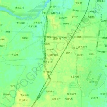
Name: 桃园街道 topographic map, elevation, terrain.
Location: 桃园街道, 涿州市, 保定市, 河北省, 072750, 中国 (39.43670 115.91522 39.50914 115.98174)
Average elevation: 36 m
Minimum elevation: 28 m
Maximum elevation: 42 m
Other topographic maps
Click on a map to view its topography, its elevation and its terrain.