
Thank you for supporting this site ❤️
Make a donation
Make a donation
Linjiang topographic map
Click on the map to display elevation.
Thank you for supporting this site ❤️
Make a donation
Make a donation
About this map
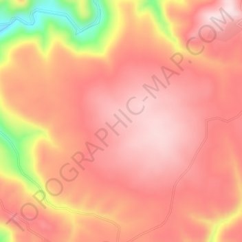
Name: Linjiang topographic map, elevation, terrain.
Location: Linjiang, Baishan City, Jilin, China (41.13175 126.49634 42.53175 127.89634)
Average elevation: 875 m
Minimum elevation: 181 m
Maximum elevation: 2,664 m
Thank you for supporting this site ❤️
Make a donation
Make a donation
Other topographic maps
Click on a map to view its topography, its elevation and its terrain.
Changchun City
Changchun lies in the middle portion of the Northeast China Plain. Its municipality area is located at latitude 43° 05′−45° 15′ N and longitude 124° 18′−127° 02' E. The total area of Changchun municipality is 20,571 km2 (7,943 sq mi), including metro areas of 2,583 square kilometres (997 sq mi),…
Average elevation: 215 m