
Thank you for supporting this site ❤️
Make a donation
Make a donation
Camp Orr Dam topographic map
Click on the map to display elevation.
Thank you for supporting this site ❤️
Make a donation
Make a donation
About this map
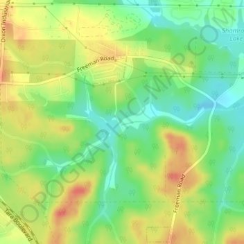
Name: Camp Orr Dam topographic map, elevation, terrain.
Location: Camp Orr Dam, Clayton County, Georgia, 30250, United States (33.47173 -84.31664 33.47183 -84.31654)
Average elevation: 266 m
Minimum elevation: 239 m
Maximum elevation: 294 m
Thank you for supporting this site ❤️
Make a donation
Make a donation
Other topographic maps
Click on a map to view its topography, its elevation and its terrain.
Thank you for supporting this site ❤️
Make a donation
Make a donation
Thank you for supporting this site ❤️
Make a donation
Make a donation