
Kabaklı topographic map
Interactive map
Click on the map to display elevation.
About this map
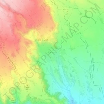
Name: Kabaklı topographic map, elevation, terrain.
Location: Kabaklı, Develi, Kayseri, Central Anatolia Region, Turkey (38.42336 35.61537 38.46336 35.65537)
Average elevation: 1,568 m
Minimum elevation: 1,464 m
Maximum elevation: 1,693 m
Other topographic maps
Click on a map to view its topography, its elevation and its terrain.