
Erick topographic map
Interactive map
Click on the map to display elevation.
About this map
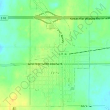
Name: Erick topographic map, elevation, terrain.
Location: Erick, Beckham County, Oklahoma, 73645, United States (35.20448 -99.87781 35.22968 -99.85873)
Average elevation: 631 m
Minimum elevation: 619 m
Maximum elevation: 643 m
Other topographic maps
Click on a map to view its topography, its elevation and its terrain.
Texola
United States > Oklahoma > Beckham County
Texola, Beckham County, Oklahoma, 73668, United States
Average elevation: 654 m
Sweetwater
United States > Oklahoma > Beckham County
Sweetwater, Beckham County, Oklahoma, 73666, United States
Average elevation: 663 m
Sayre
United States > Oklahoma > Beckham County
Sayre, Beckham County, Oklahoma, 73662, United States
Average elevation: 567 m
Sayre
United States > Oklahoma > Beckham County > Sayre > Sayre
Sayre, Beckham County, Oklahoma, 73662, United States
Average elevation: 560 m
Elk City
United States > Oklahoma > Beckham County
Elk City, Beckham County, Oklahoma, United States
Average elevation: 588 m
Sayre
United States > Oklahoma > Beckham County
Sayre, Beckham County, Oklahoma, 73662, United States
Average elevation: 567 m