
Jinzhou City topographic map
Interactive map
Click on the map to display elevation.
About this map
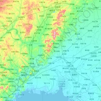
Name: Jinzhou City topographic map, elevation, terrain.
Location: Jinzhou City, Liaoning, 121000, PRC (40.77405 120.71146 42.12674 122.59642)
Average elevation: 103 m
Minimum elevation: -2 m
Maximum elevation: 834 m
Other topographic maps
Click on a map to view its topography, its elevation and its terrain.