
临夏县 topographic map
Interactive map
Click on the map to display elevation.
About this map
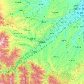
Name: 临夏县 topographic map, elevation, terrain.
Location: 临夏县, 临夏回族自治州, 甘肃省, 中国 (35.31874 102.87853 35.63874 103.19853)
Average elevation: 2,347 m
Minimum elevation: 1,850 m
Maximum elevation: 3,525 m
Other topographic maps
Click on a map to view its topography, its elevation and its terrain.