
奇墅水库 topographic map
Interactive map
Click on the map to display elevation.
About this map
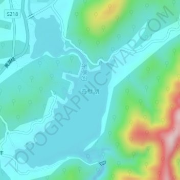
Name: 奇墅水库 topographic map, elevation, terrain.
Location: 奇墅水库, 宏村镇, 黟县, 黄山市, 安徽省, 中国 (29.97745 117.97983 30.00097 117.99761)
Average elevation: 344 m
Minimum elevation: 275 m
Maximum elevation: 624 m
Other topographic maps
Click on a map to view its topography, its elevation and its terrain.