
湘滨镇 topographic map
Interactive map
Click on the map to display elevation.
About this map
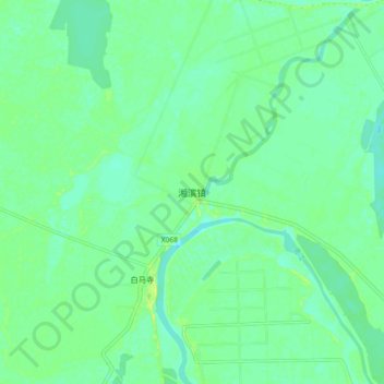
Name: 湘滨镇 topographic map, elevation, terrain.
Location: 湘滨镇, 湘阴县, 岳阳市, 湖南省, 中国 (28.69831 112.63887 28.77831 112.71887)
Average elevation: 28 m
Minimum elevation: 20 m
Maximum elevation: 41 m
Other topographic maps
Click on a map to view its topography, its elevation and its terrain.