
Carnota topographic map
Interactive map
Click on the map to display elevation.
About this map
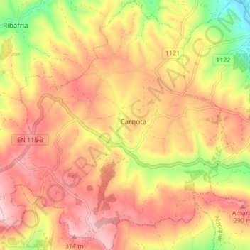
Name: Carnota topographic map, elevation, terrain.
Location: Carnota, Alenquer, Lisboa, Oeste, Centro, Portugal (39.01506 -9.10431 39.06753 -9.03788)
Average elevation: 207 m
Minimum elevation: 42 m
Maximum elevation: 320 m
Other topographic maps
Click on a map to view its topography, its elevation and its terrain.