
Bairro topographic map
Interactive map
Click on the map to display elevation.
About this map
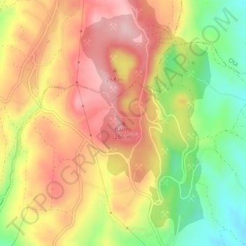
Name: Bairro topographic map, elevation, terrain.
Location: Bairro, Alenquer, Lisboa, Oeste, Centro, 2580, Portugal (39.08453 -9.01299 39.08463 -9.01289)
Average elevation: 166 m
Minimum elevation: 44 m
Maximum elevation: 265 m
Other topographic maps
Click on a map to view its topography, its elevation and its terrain.