
Center Island topographic map
Interactive map
Click on the map to display elevation.
About this map
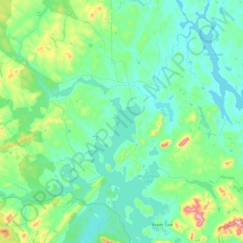
Name: Center Island topographic map, elevation, terrain.
Location: Center Island, Piscataquis County, Maine, USA (45.50199 -70.01061 46.14199 -69.37061)
Average elevation: 394 m
Minimum elevation: 281 m
Maximum elevation: 1,107 m
Other topographic maps
Click on a map to view its topography, its elevation and its terrain.