
Channel Rock topographic map
Interactive map
Click on the map to display elevation.
About this map
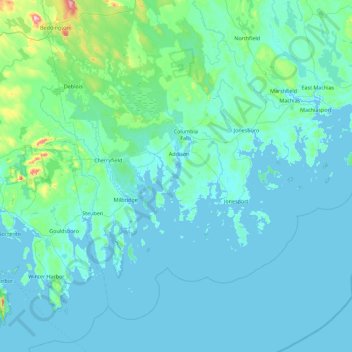
Name: Channel Rock topographic map, elevation, terrain.
Location: Channel Rock, Washington County, Maine, USA (44.25758 -68.07139 44.89758 -67.43139)
Average elevation: 33 m
Minimum elevation: -2 m
Maximum elevation: 444 m
Other topographic maps
Click on a map to view its topography, its elevation and its terrain.